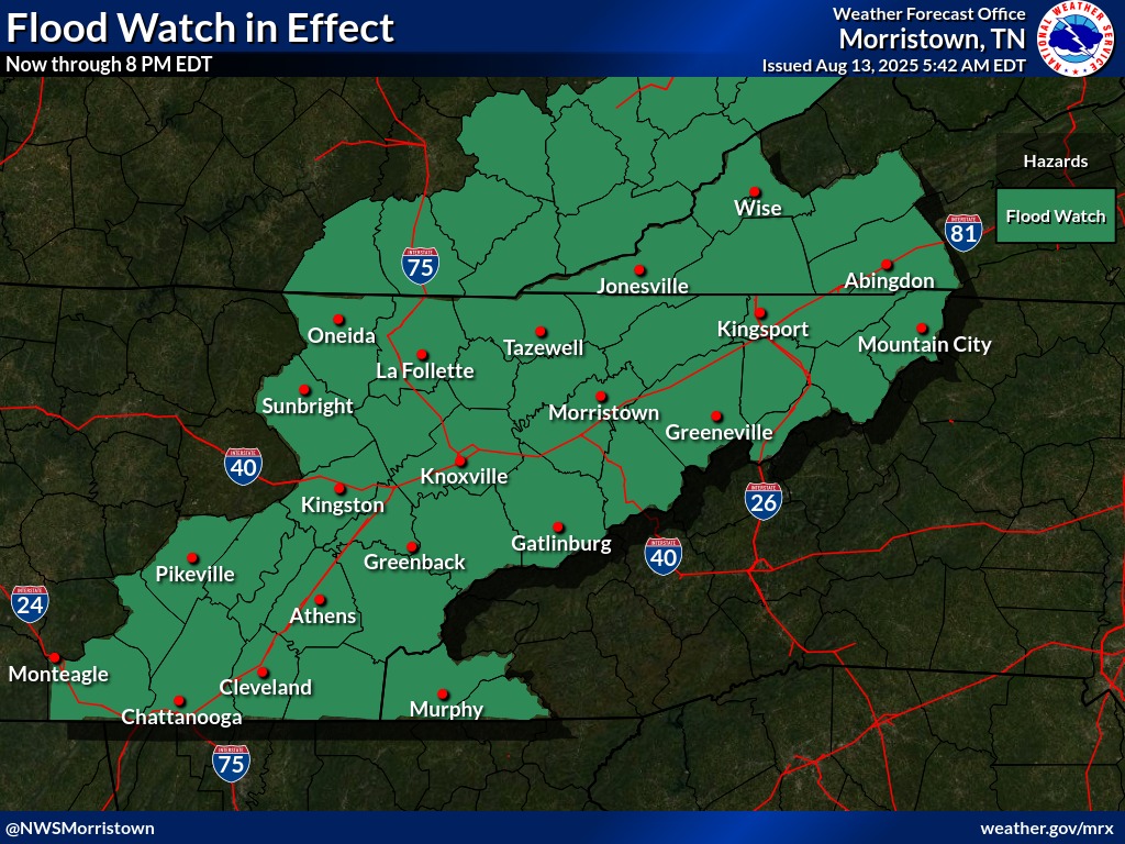
Residents of Knoxville and much of East Tennessee should remain vigilant as the National Weather Service has issued a Flood Watch effective until 8:00 PM EDT this evening.
The ongoing watch warns of potential flash flooding due to heavy, persistent rainfall driven by deep tropical moisture streaming northwar.
Areas Affected
The alert covers numerous counties across East Tennessee—including Knox, Anderson, Blount, Hamilton, Jefferson, Loudon, Marion, McMinn, and several others—as well as adjacent regions in southwest North Carolina (Cherokee, Clay) and southwest Virginia (Lee, Russell, Scott, and Wise counties)
Weather Outlook Through the Evening
Forecasts from the National Weather Service indicate:


- Today (Wednesday): Showers and thunderstorms are likely—especially between mid-morning and early afternoon. High temperatures around 86 °F; rainfall could be between a quarter and half an inch, with elevated flood risk
- Tonight: Scattered thunderstorms likely before 9 PM; skies gradually clearing with lows near 71 °F
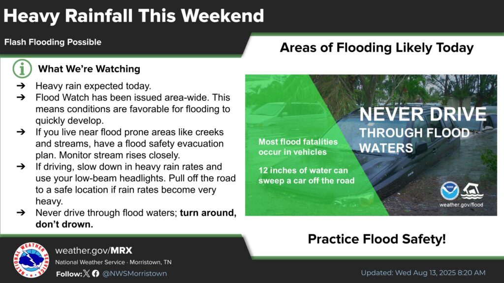
- Thursday onward: Continued chances of storms in the afternoons into the weekend, but with gradually rising heat—heat index values possibly reaching the mid‑90’s. Stay safe, and remember—especially today, if you live near creeks, rivers, or in low-lying areas, it’s best to stay indoors and be prepared to act quickly if your area comes under a Flash Flood Warning.
Flash Flood Risk Details
Persistent rounds of rainfall, characterized by slow-moving and highly efficient storm cells, can lead to rapid surface runoff. This raises the likelihood of flash flooding in vulnerable areas—particularly urban zones with poor drainage, low-lying regions, creek and river corridors, and along roadways
Historic Flooding Hit Chattanooga
In Chattanooga, an extraordinary deluge swept across the city late Tuesday into Wednesday, delivering 6.41 inches of rain, marking the second-wettest day on record for the city. The magnitude of the rainfall overwhelmed local drainage systems, prompting swift water rescues and the declaration of a state of emergency for Hamilton County by county officials. Emergency responders were deployed across the city, rescuing stranded motorists and assisting residents trapped in their homes as floodwaters rose rapidly. Inundated roadways, including portions of Interstate 24, which was shut down in both directions before being reopened late Tuesday night, created widespread disruptions